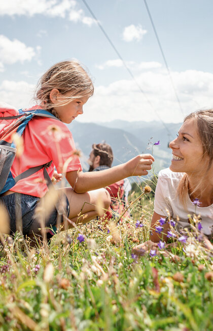
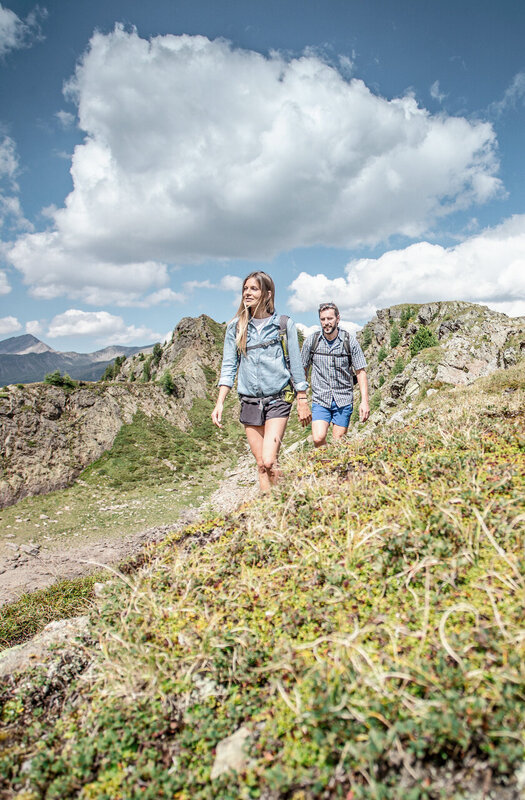
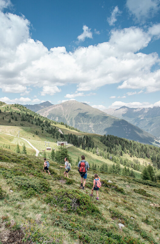
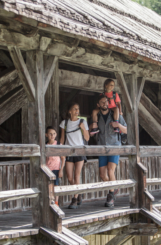
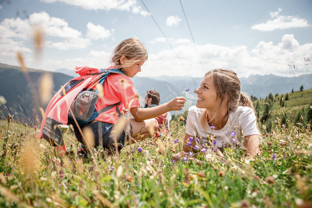
Family-friendly hiking trails create unique holiday experiences with the family that you won't soon forget.
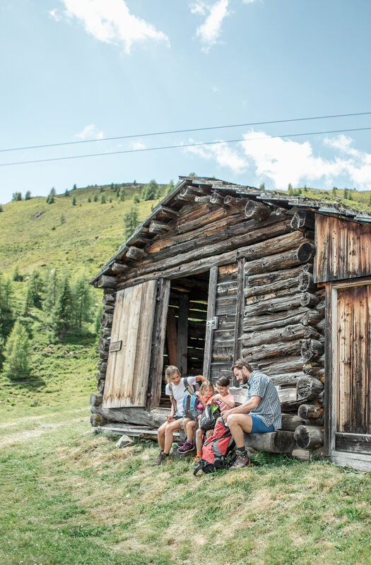

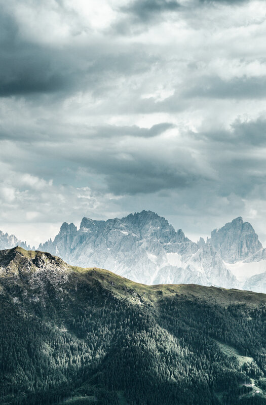
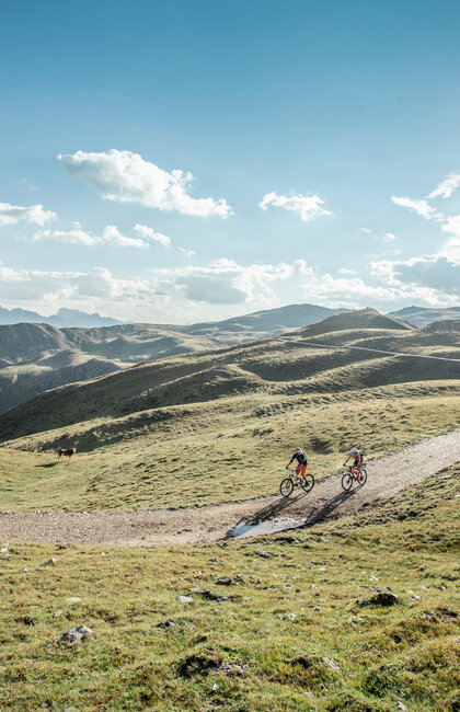
Hiking paradise
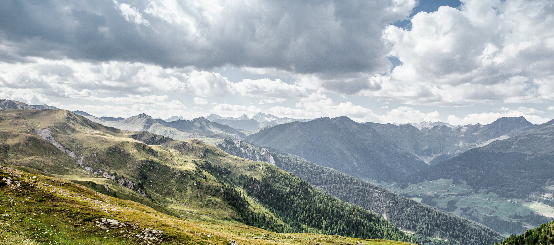
Whether leisurely circular routes, themed and high-altitude trails or challenging mountain and climbing tours - well-marked routes lead through the impressive landscape of East Tyrol, right at the gateway to the Dolomites.
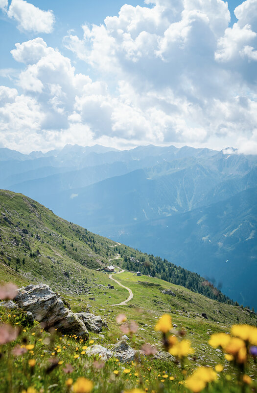
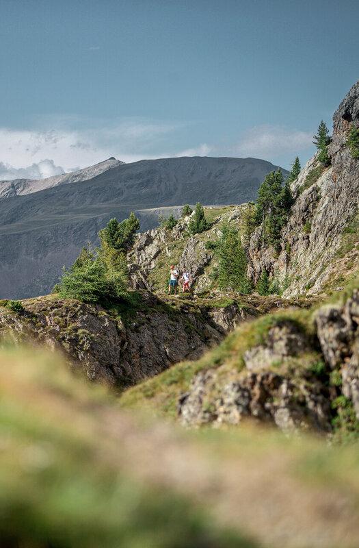
Enjoy diversity
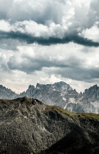
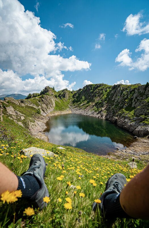
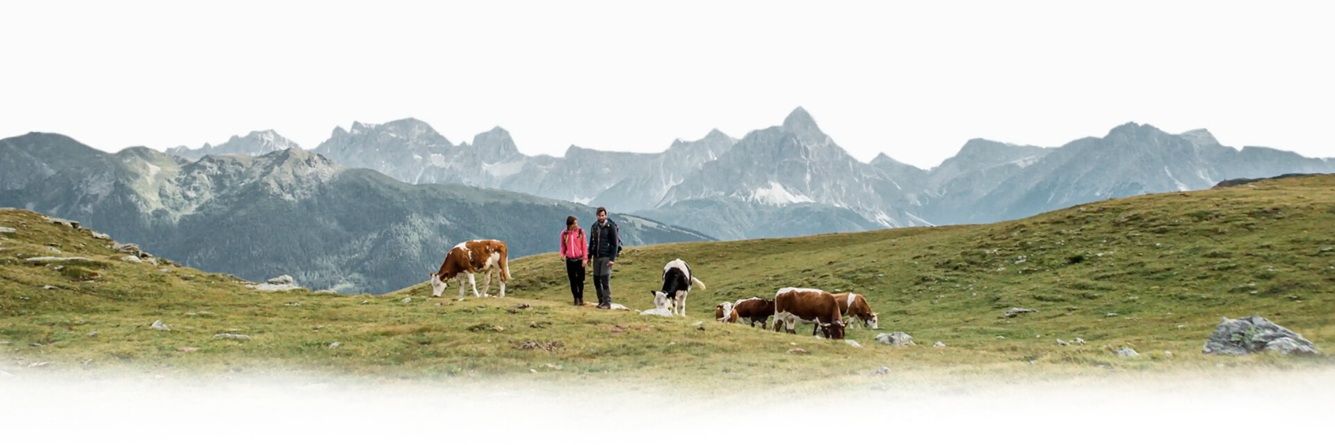
East Tyrol combines diverse landscapes: gentle alpine pastures, rugged rock faces and ice-covered peaks characterise the region. The cultural landscape of the alpine pastures, which has evolved over centuries, is an indispensable part of this natural paradise.
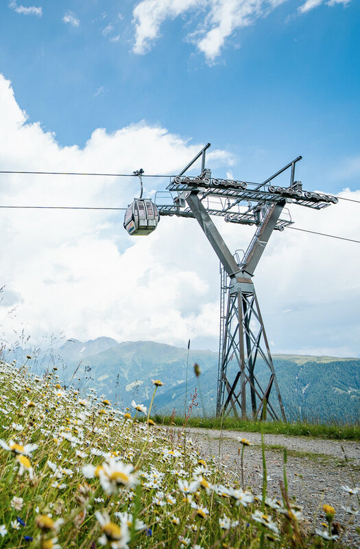
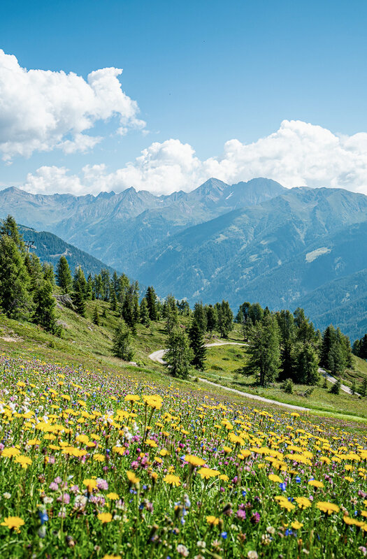
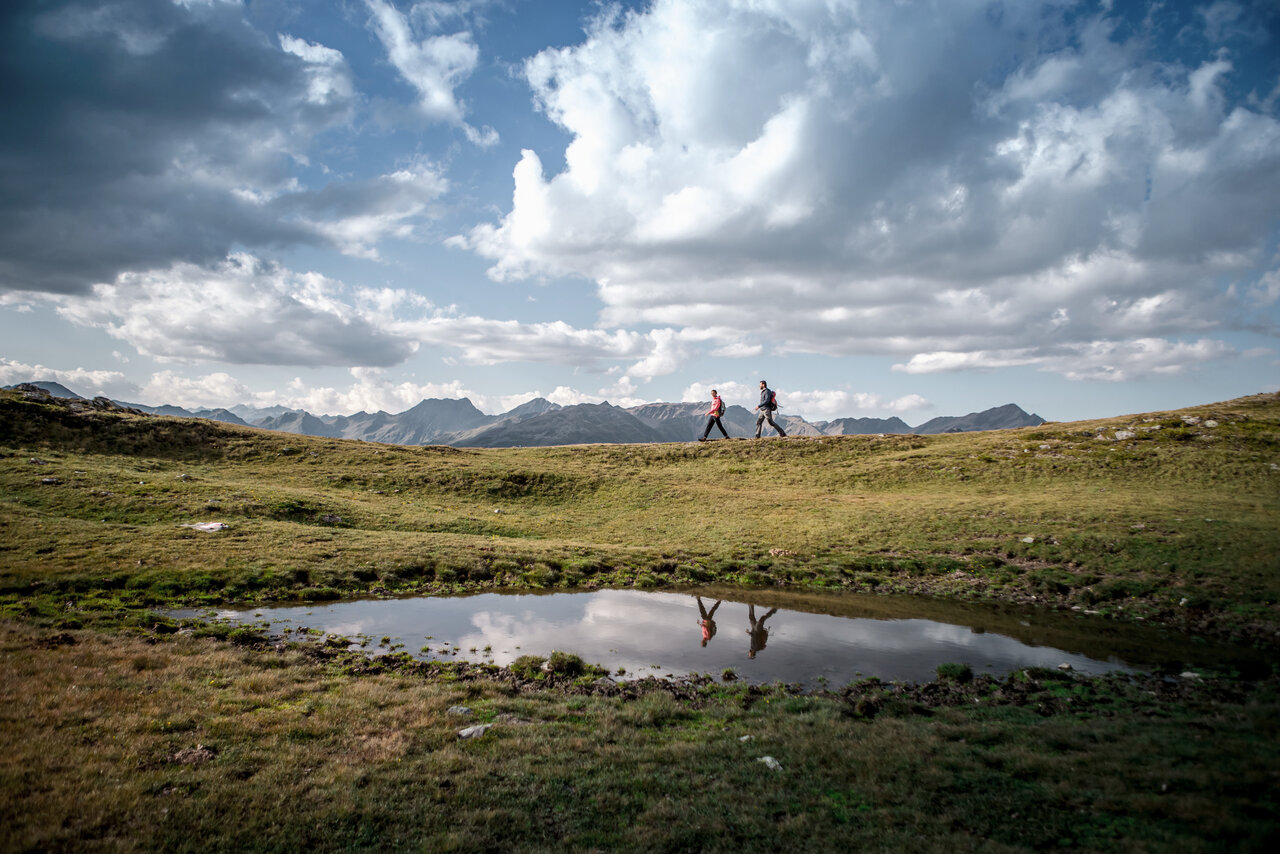
Panorama & hiking suggestions
Walk from the cable car mountain station or Gadein restaurant (2,090 m) to the Thurntaler Rast (2,004 m) and back (trail 10b).
Walking time: approx. 45 minutes
Walk from the mountain station via path 10b on the left to the Hirtenhütte (very wide path - also possible with pushchairs)
Walking time: approx. 1.5 hours
Summit hike from the mountain station via Alpeggele (trail 7) to the Thurntaler summit (2,407 m) - descent via the Drei Seen (trail 10) to the Thurntaler Rast or Restaurant Gadein.
Walking time: 3.5 hours
Circular hiking trail around the Thurntaler (Tyrolean Jubilee Trail) from the mountain station via Alpeggele to Astatt Sattel (trail 7) - detour to the left to Thurntaler See (2,324 m) and Thurntaler Jugendkreuz (trail 4) and back - follow trail 4 to the junction with trail 10b - follow this via Thurntaler Rast back to the mountain station (trail 10b).
Walking time: approx. 5 hours
Valley hike to Sillian from the mountain station to Alpeggele downhill via Stalpen to the cable car valley station (trail no. 7).
Walking time: approx. 2.5 hours
Valley hike to Arnbach from the mountain station to the Thurntaler Jugendkreuz (trail 7, 4). Descent via Kolbental to Arnbach (path 2).
Walking time: approx. 4 hours
Valley hike to Innervillgraten from the mountain station to the Astatt saddle and via the Tafintal valley to Innervillgraten (path 4).
Walking time: approx. 2.0 hours
Valley hike to Außervillgraten from the mountain station via Thurntaler Rast (trail 10b) downhill via the "Sennersteig" to Außervillgraten (trail 10).
Walking time: approx. 2.5 hours
Long-distance hike Bonner Höhenweg from the mountain station to Astatt Sattel, following trail 10 to Marchkinkele (descent to Kalkstein possible/trail 5, 5a) - continue to Toblacher Pfannhorn (descent to Kalkstein possible/trail 8) - follow trail 12 via Schwarzsee to Unterstaller Alm.
Walking time: approx. 10 hours
The Nordic walking route leads from the cable car mountain station to the Thurntaler summit and back to the mountain station via the Three Lakes.
Walking time: approx. 1 - 1.5 hours
Our hiking tips
- Only fit in the mountains and not just "fit through the mountains".
- No mountain hike without careful tour planning.
- Take the right equipment for the planned tour and nothing unnecessary.
- Suitable footwear is essential! Only go off-road with mountain boots!
- Obtain information about the tour and the weather conditions.
- Take a ten-minute break every two hours.
- Drink and eat plenty during the tour.
- Never leave the marked trail.
- Abort the tour in good time in the event of danger or deteriorating weather conditions.
- Emergency equipment (first aid kit, mobile phone and torch) belongs in every rucksack.
You can do a lot to ensure your safety on a hike or mountain tour even before you set off: good planning is the be-all and end-all. The choice of route must always be based on the fitness and mountain experience of the weakest member of the group. For mountain tours, it is therefore essential to find out about the level of difficulty and nature of the route! If you want to be on the safe side, it is best to join a guided hiking group. In addition to the added safety, this has the advantage that the mountain guides know a lot about the country and its people. What's more, hiking with a group of like-minded people is often even more fun.
The equipment must always be adapted to the conditions. A map as well as sun and rain protection belong in every rucksack. The weather in the mountains can often change quickly and cause unpleasant surprises. Good shoes are a prerequisite anyway, and telescopic poles protect the knee joints when walking. Even on easy hikes, don't be reckless and always take enough to eat and drink, especially if you have children with you. Don't forget: Exercise in the fresh mountain air makes you thirsty and whets your appetite!